

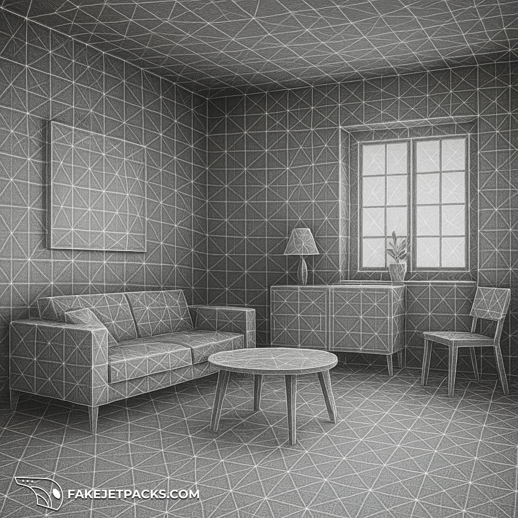
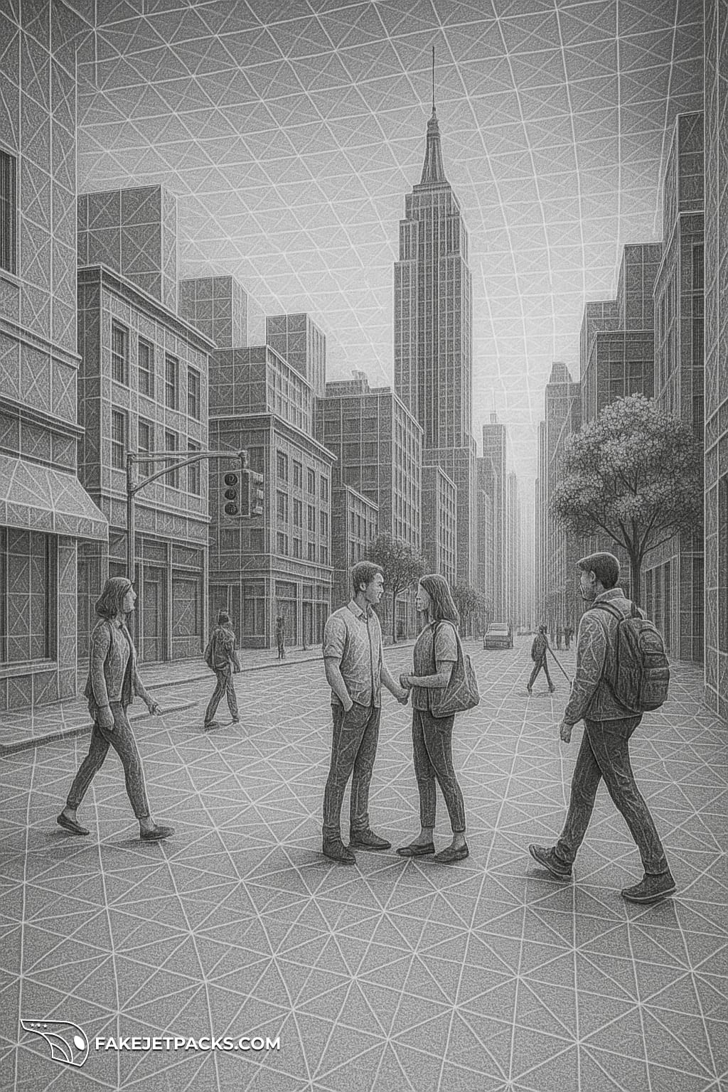
Spatial Mesh
A collection of polygons (usually triangles) that approximate the surfaces of the physical environment. It represents a 3-dimensional “wireframe” of walls, floors, cars, roads, people, machinery, buildings, and other objects in an environment.

Devices with depth sensors, LiDAR, or stereo cameras scan the environment to create a spatial mesh. Algorithms then convert depth data into a mesh, continuously updating it as the environment changes. It works in the following way
- Augmented Reality: lets holograms or virtual objects interact realistically with physical surfaces (e.g., a virtual ball bouncing off a real table)
- Robotics: allows navigation and obstacle avoidance by recognizing the shape and location of objects
- 3D mapping: used in gaming, design, construction, and digital twins for accurate spatial representation
Some examples include:
- Apple Vision Pro generates a spatial mesh, sometimes called scene geometry, so spatial apps can anchor digital objects to real-world positions in space
- Waymo uses information from Google Maps and Street View as a base mapping layer, and then sensors on their self-driving cars to navigate roadways and avoid obstacles
- Autonomous robots will build spatial meshes in real time to move safely in environments
It's valuable and defensible because of multiple network effects working together as a giant flywheel (see intrinsic value):
- Each connection point of the spatial mesh is a node representing the topology of the real world at a point in time
- As nodes connect, the network size is increased, and the value of the network grows exponentially
- As the real-world changes and the spatial mesh is updated, it provides a record of the movement of objects through space over time
- Aligning artificial intelligence models with spatial mesh models, in real time, provides a combined network effect with super-exponential value
- The larger, more accurate, and faster updating spatial mesh with lower latency will be the one chosen by both humans and machines at each moment in time
- It becomes the de facto standard record of civilization
- Taken further, as physical objects are tokenized (i.e., made digital with infinite divisibility and lightspeed transfer), it combines another network on top of the spatial mesh
As a result, the value of the spatial mesh increases substantially with the defensibility benefits accruing to its owner (ideally, a public good with similar mechanics as Bitcoin).
Discussion